
Evaluating street-level safety when moving to Minneapolis means looking beyond crime statistics. Street lighting, pedestrian activity, traffic, and nearby businesses can influence everyday comfort.

Minneapolis, located in Hennepin County, Minnesota, is part of the Twin Cities metropolitan area alongside St. Paul. Its neighborhoods, including Uptown, Northeast Minneapolis, and Longfellow, offer different street layouts, traffic patterns, parks, and community activity levels.
When comparing the safest neighborhoods in Minneapolis, examine crime reports, lighting, sidewalks, and community activity. The city’s official crime map lets you review incidents by location and date. Combining these records with in-person observations provides a balanced assessment. This article explains several ways to evaluate street-level safety when moving to Minneapolis.
Visit the streets surrounding a potential home after sunset to assess visibility. Look for working streetlights, clear sightlines, and visible building entrances. Poor lighting and hidden corners may make walking less comfortable.
Check whether trees, parked vehicles, or overgrown landscaping block visibility near entrances. Notice whether parking areas and shared pathways are adequately illuminated. These details can affect how confidently residents move around after dark.
Walk through the area during weekday mornings, evenings, and weekends. Open shops, active sidewalks, and regular foot traffic may make streets feel more welcoming. However, activity levels alone cannot establish whether a location is safe.
Look for maintained storefronts, occupied buildings, and regularly used public spaces. Notice whether sidewalks are accessible and nearby businesses match your usual schedule. Consider how comfortable you would feel returning home after work.
Use Minneapolis’s official crime map to examine reported incidents near potential properties. Filter by location and date range to identify patterns rather than relying on isolated reports. Remember that reported incidents cannot predict every future safety concern.
Compare similar periods and consider the types of incidents reported. Busy commercial streets may show different patterns from quieter residential blocks. Use crime data alongside in-person visits instead of relying on statistics alone.
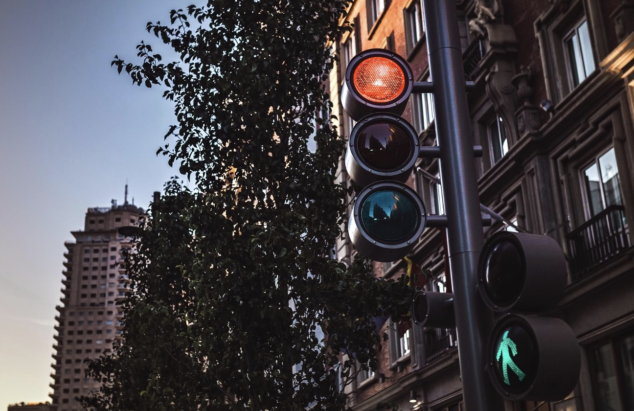
Check traffic speeds, crossing signals, sidewalks, and visibility at nearby intersections. Heavy traffic and difficult crossings can create challenges for pedestrians. Visit during rush hour to observe how vehicles and people share the road.
Minnesota Statutes § 169.21 establishes rules governing pedestrian rights and driver responsibilities at crosswalks. When evaluating street-level safety in Minneapolis, observe whether drivers yield appropriately at marked crosswalks and whether pedestrian crossings are clearly visible. Understanding these rules can help prospective residents assess walkability and identify potential risks near intersections.
If you plan to use buses, light rail, or walk regularly, inspect your routes to nearby stops. Look for accessible sidewalks, safe crossings, and sheltered waiting areas where available. Consider how comfortable the journey feels during daylight and evening hours.
Examine the property’s exterior doors, entry systems, parking areas, and shared spaces. Ask the landlord how access is controlled and maintenance concerns are handled. Well-maintained common areas suggest attention to building management but do not guarantee safety.
Check whether entrances are visible from the street and packages can be left securely. Ask current residents about recurring problems and their experiences returning home at night. Their observations can add useful context to your own visits.
Visit nearby parks, playgrounds, and walking trails to assess their maintenance and visibility. Check whether paths are well-lit and entrances are easy to access. If you plan to visit these spaces regularly, observe their activity during your preferred hours.
Identify nearby hospitals, pharmacies, and other essential services before choosing a property. Check how easily emergency vehicles can access the street and whether building numbers are clearly visible. These practical details can help you assess convenience and preparedness in your new neighborhood.
Counter
101 Countries • 1432 Cities